Survey-grade LiDAR capture of buildings, plants, and infrastructure ... brought to your site by an operator with 20+ years of hands-on reality capture. Point clouds registered, cleaned, and delivered ready to model or monitor.
Actual point-cloud flythroughs from the field ... live industrial plants, tight access, and open terrain, captured to survey grade.
Industrial plant flythrough · thermal oxidizer
Drone capture · plant ductwork from above
Site & terrain flythrough
Static TLS, drone LiDAR, and mobile SLAM ... in live plants, on rooftops, in tight spaces, and out in the dirt.
Different sites demand different sensors. We carry and operate the full kit, and frankly, knowing which to use is half the value.
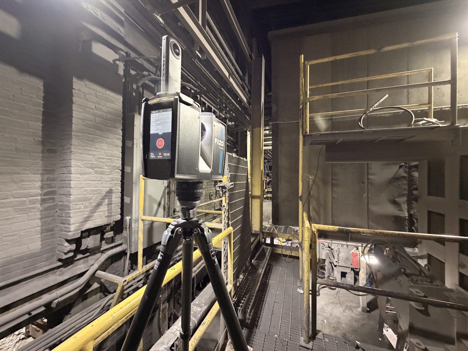
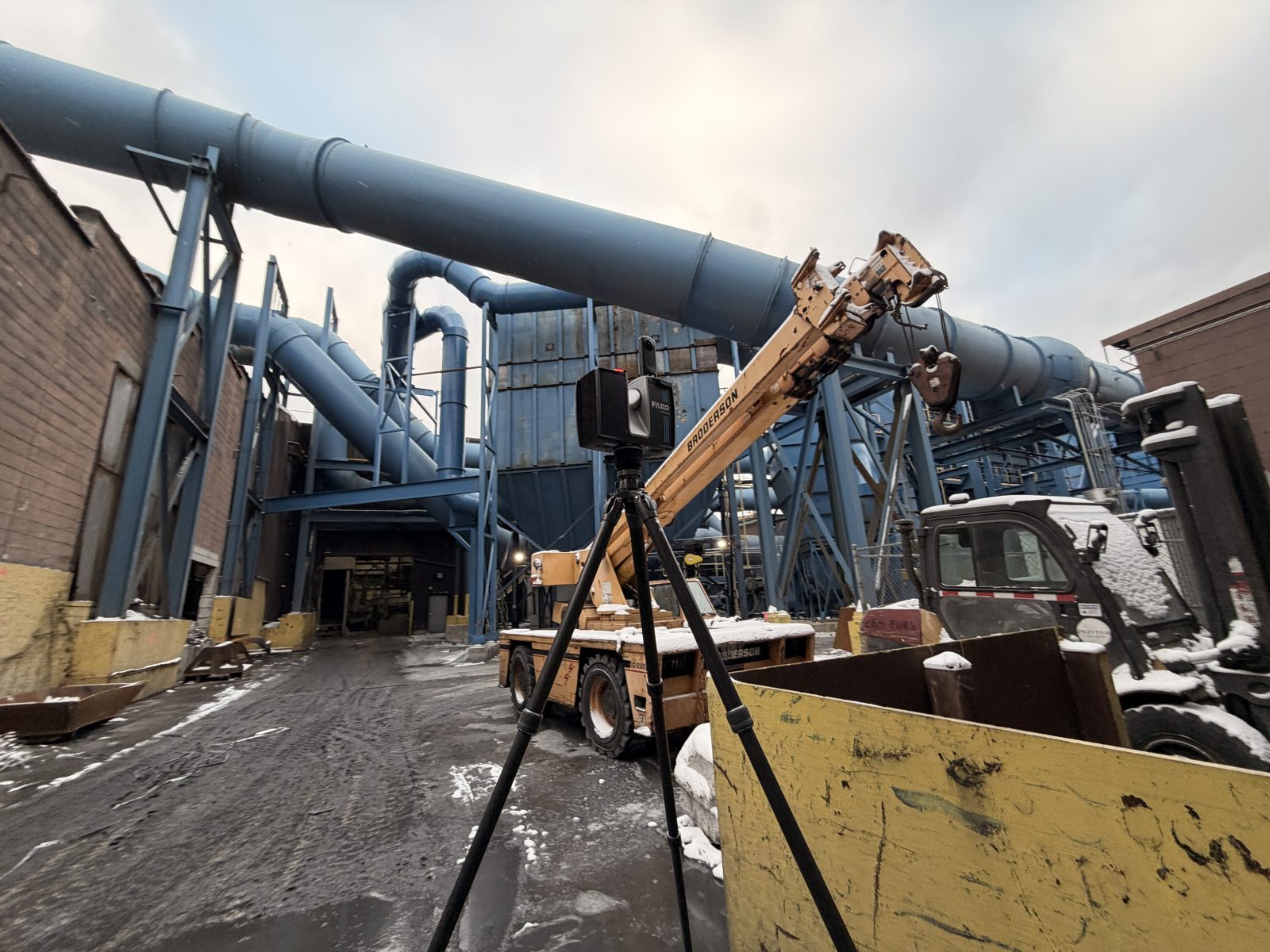
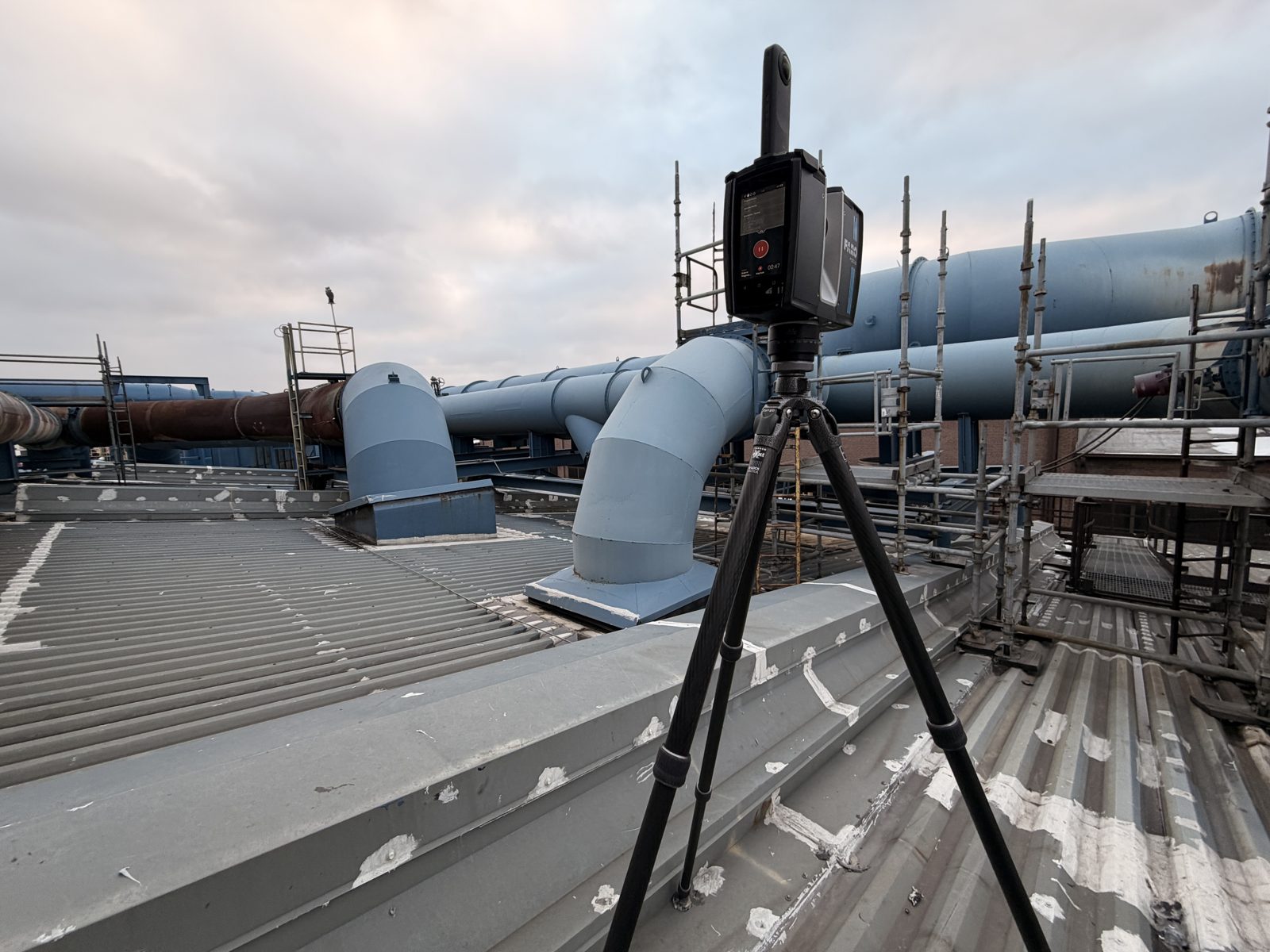
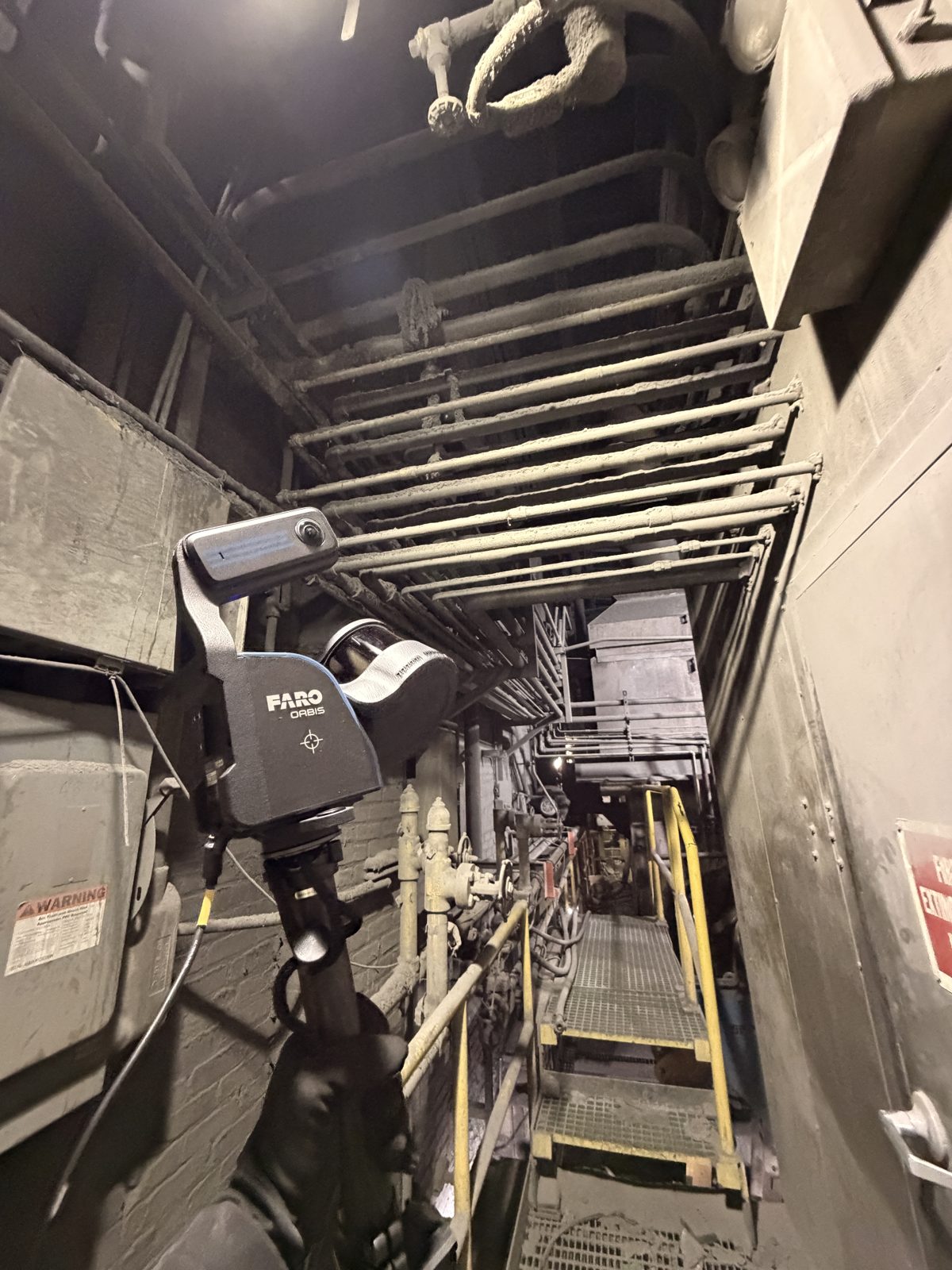
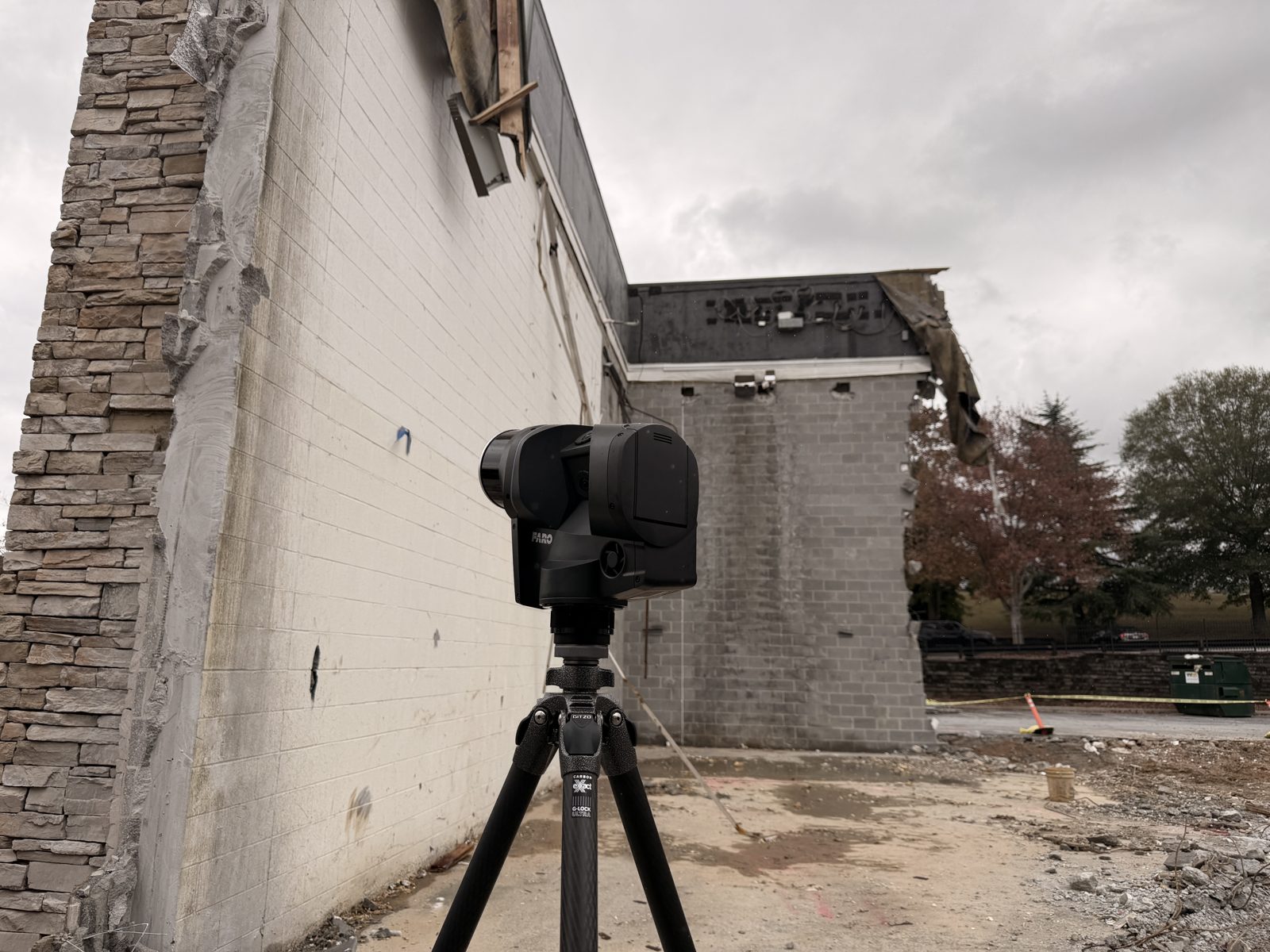
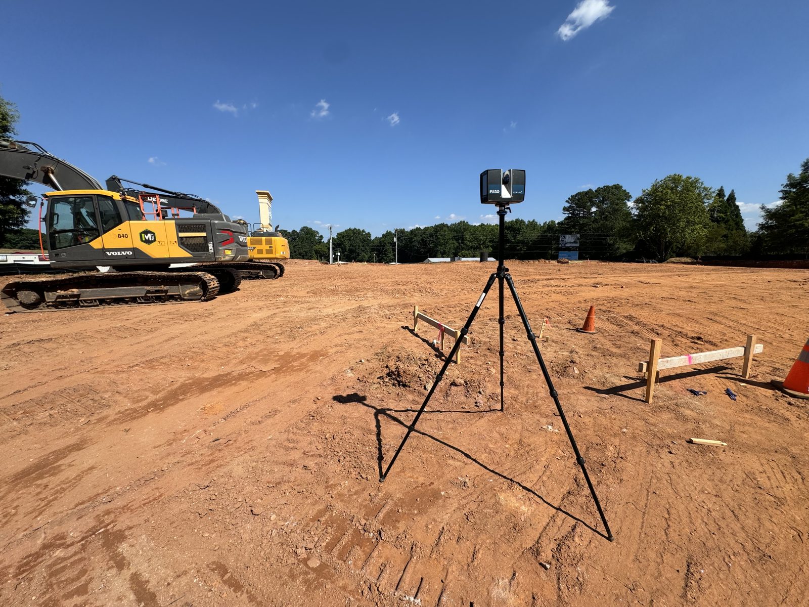
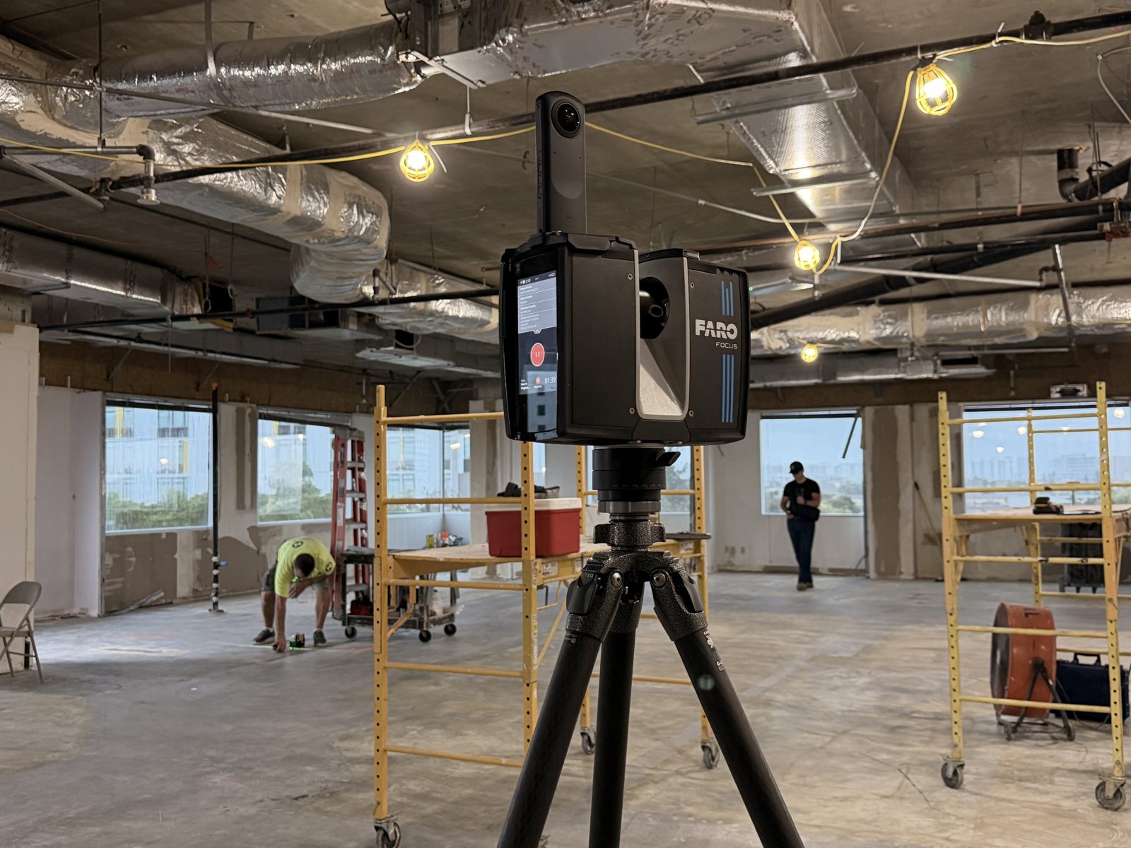
Long-range terrestrial laser scanning at survey-grade accuracy for plants, structures, and large interiors.
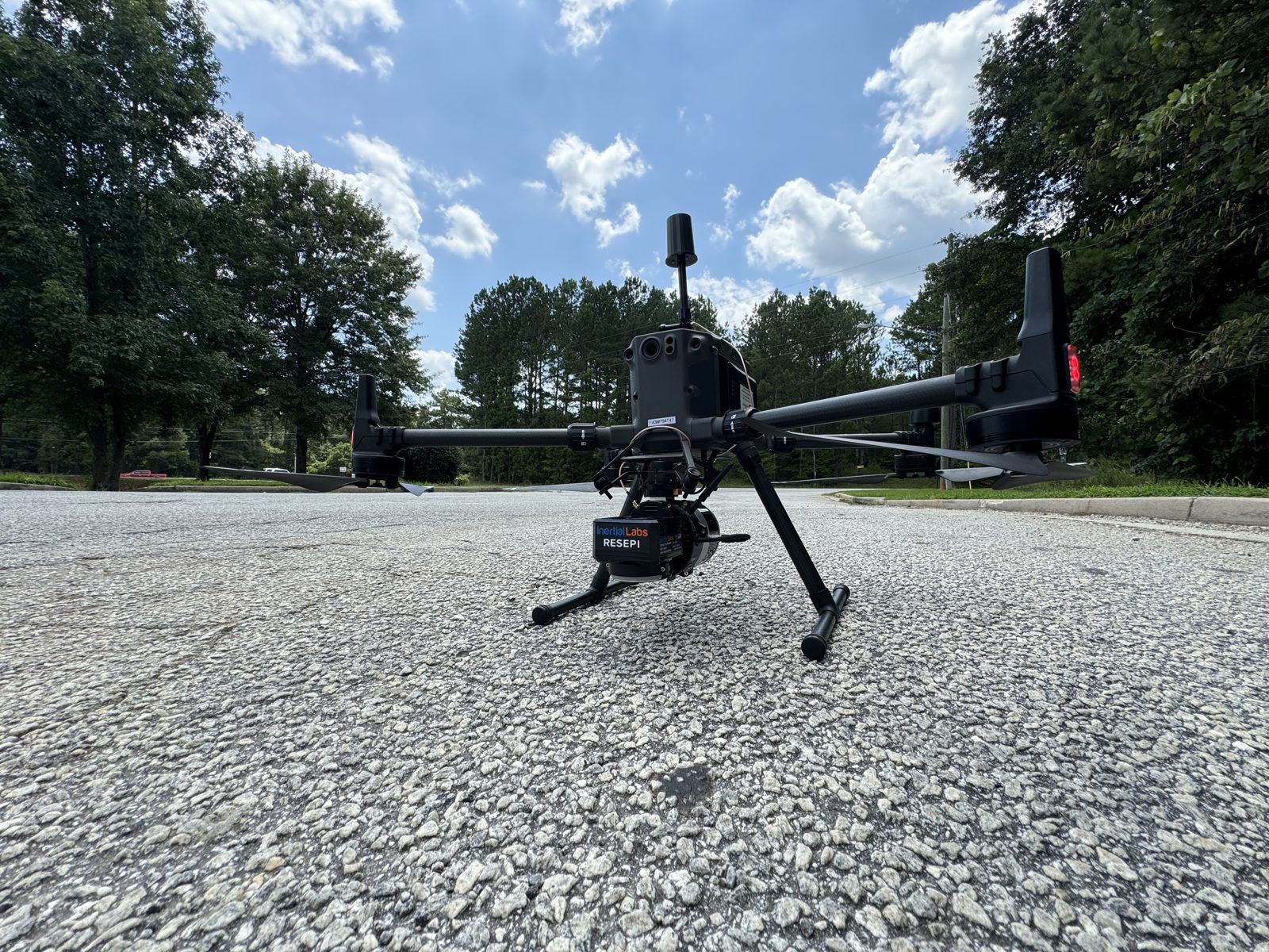
Roofs, stacks, tall structures, and sprawling sites captured from above where a tripod can't reach.
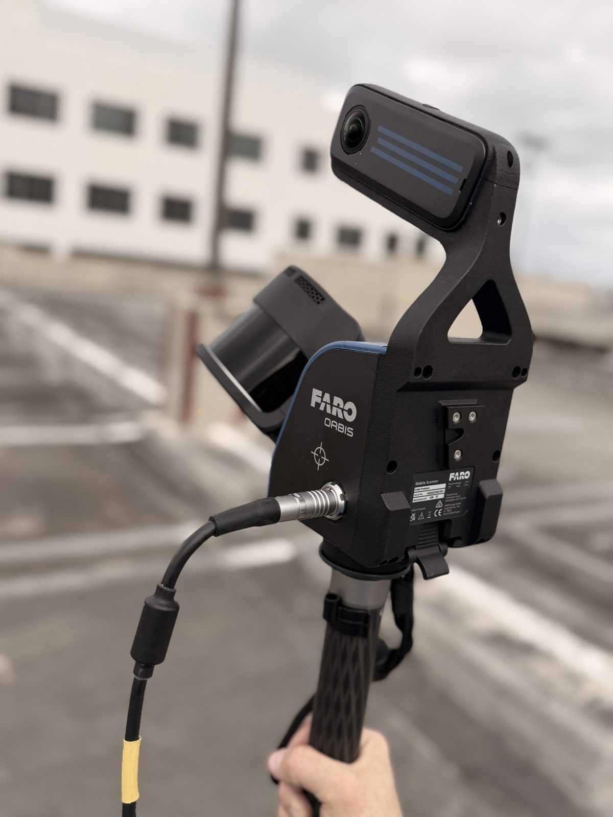
Walk-through capture for fast coverage of corridors, racks, and complex circulation spaces.
Cleaned, registered, and coordinate-locked. Delivered in the format your downstream tools expect ... RCP/RCS, E57, LAS/LAZ.
Targets, registration report, and documented tolerances so the data stands up to scrutiny.
A navigable capture of existing conditions ... revisit the site without a revisit.
Hand it to your team, hand it to ours for Scan-to-BIM, or set it as the baseline for ongoing integrity monitoring.
We confirm what the data is for ... model, as-built, or integrity baseline ... then plan scanner positions, control, and site access before we mobilize.
We run the scanner ourselves. Static TLS for accuracy, drone where a tripod can't reach, mobile SLAM for fast coverage ... the right tool for each space.
Scans are registered to control, cleaned, and checked against documented tolerances ... so the point cloud holds up to scrutiny.
Coordinate-locked point clouds in the formats your tools expect ... ready to model, or set as a monitoring baseline.
A scan captures millions of points of true existing conditions in minutes ... not a handful of tape measurements someone interprets later. Every wall, pipe, and elevation as-found ... so what you build next sits on reality, not assumptions.
Survey-grade ... typically within about ±2mm at the scan, registered to control. We document the tolerances in an accuracy report so the data stands up.
Rarely. We capture from a safe distance and work around live operations, so most sites keep running while we scan. For plants, we can fit the capture to a turnaround window.
Registered, coordinate-locked point clouds (RCP/RCS, E57, LAS/LAZ), an accuracy report, and a navigable virtual site walk. From there we can model it or set it as a monitoring baseline.
A building, a plant, a single asset. We'll scope the capture and turn it around fast.